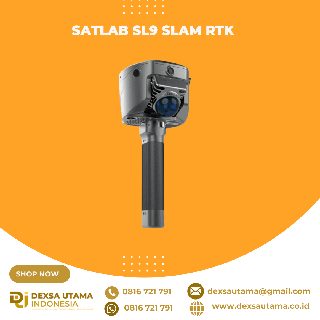
1. New Image Measurement ExperienceWith three HD cameras and SLAM integration, the SL9 lets you measure in real-time—just select the target point in the image to get its 3D coordinates. Achieve 2–5 cm accuracy within 15 meters using the Satsurv app.2. Boundaryless Surveying with SLAM-Fix TechSL9 smartly switches between RTK and SLAM. Get reliable coordinates even under bridges, eaves, or indoors—no signal, no problem.3. Unified Coordinate SystemNo more stitching data. SL9 keeps your coordinates unified across environments—no control points, no loop closure, no hassle.4. Fast & Easy Volume CalculationInstantly generate 3D terrain and calculate volumes right on-site using the Android-based Satsurv app.5. Reliable Signal, High-Quality DataTrack all major constellations with superior performance in tough environments, achieving centimeter-level accuracy.6. Precision Post-Processing with Sat-LiDARPost-process your data with Sat-LiDAR for <2 cm thickness and <1 cm accuracy. The software supports tunnel excavation analysis, progress monitoring, and acceptance checks. It also aids renovation projects with cross-section, plan, and elevation outputs.Video Player00:0001:42ApplicationsSemi-Open Environment Surveys3D Facility MappingEngineering Surveys